About
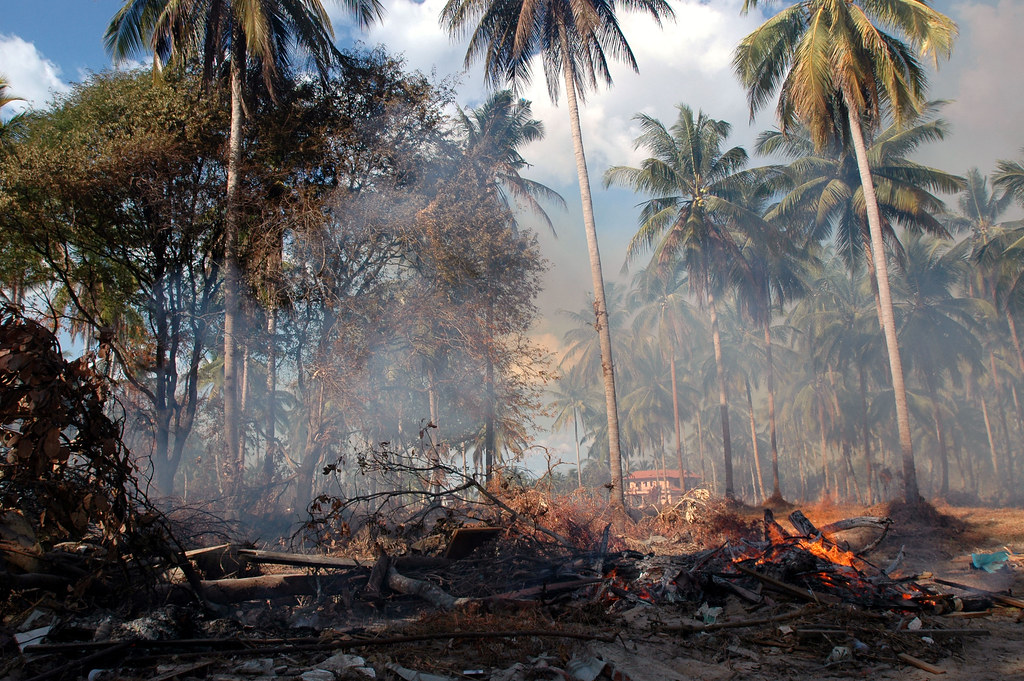
The purpose of this app is to help monitor fires/hotspot areas in near real-time (over the 24 hours). The app provides global coverage. Supplementary data include near real-time data on agricultural drought (drought index and agricultural stress index) and the latest data on world protected areas.
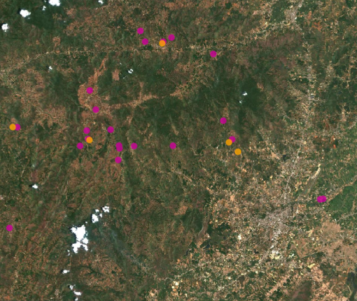
Current burning fires or fire scars may be observed by overlaying the NASA FIRMS fire data on the high resolution Sentinel imagery (10 m) which offer 5-day revisit period imagery.
The NASA FIRMS data offer 1 km (MODIS) and 375 m (VIIRS) spatial resolution.
Fires/hotspot areas near Chiang Rai, Thailand, 3 May 2023
Data sources include the following:
- NASA FIRMS: MODIS and VIIRS 24 hr fires/hotspots
- Copernicus Data and Information Access Service (DIAS): Sentinel-2 L2A true colour
- UNEP WCMC: World Database on Protected Areas
- NASA EOSDIS GIBS: Coastlines
- FAO: Agricultural Stress Index
- FAO: Historical drought frequency
- FAO: Drought Intensity
- OpenStreetMap
Developer